About Me
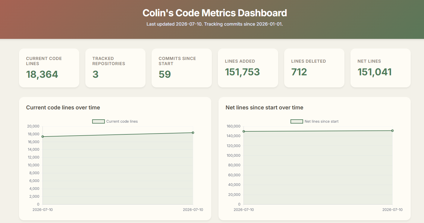
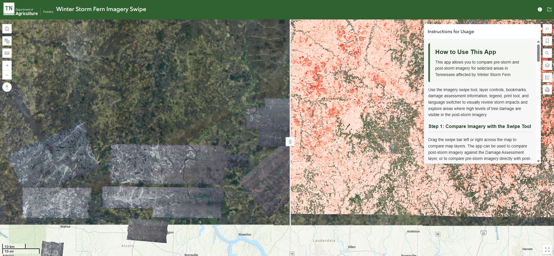
I'm a GIS Manager and Data Scientist who turns complex spatial data into decisions people can act on. I lead the Forest Data & Analysis Unit at the Tennessee Division of Forestry, where my team supports forest management, wildland fire response, state forest administration, and nursery operations across the state. I architect and administer the Division's ArcGIS Online platform for 300 users, automate recurring reporting with Python and SQL, and put mobile data collection in the hands of field foresters and incident command teams.
My career is built on reliability at scale. A decade of experience spans the field and the enterprise. I've collected survey data for timber sales and environmental permits, administered enterprise GIS at an engineering firm, and now set statewide data standards and QA/QC for forest inventory, burn history, and land ownership. I pair a GISP certification and an M.S. in GIS & Geoinformatics with experience supervising a technical team, managing grant budgets, and coordinating with state and federal partners. The goal is always the same: reproducible, efficient results that people can trust.
Philosophy I believe the most useful solutions come from rapid iteration and transparency. I avoid the "black box," where logic gets buried in over-engineered models. Instead I deliver early insights, then refine them through feedback and professional judgment. As George Box said, "All models are wrong, but some are useful." My job is to make sure every model I build is useful, reproducible, and lean enough to adapt as goals change.
Tech Stack My daily toolkit includes:
- Geographic Information Systems: Esri suite, QGIS, MapLibre.
- Programming: Python, SQL, R, JavaScript, HTML/CSS.
- Visualization: Blender 3D, Chart.js, Dashboards, Experience Builder, InstantApp, StoryMaps, Adobe Creative Cloud.
- Modern Dev: GitHub CI/CD, VS Code, RESTful APIs.
- Field Data Collection: Field Maps, Survey123, QuickCapture.
- AI: Google Gemini, Vertex AI, Codex, Claude Code.
Before I was a Data Scientist, I was an Airborne Reconnaissance Infantry Team Lead in the U.S. Army, a background that instilled in me an efficient execution and positive energy mentality I bring to every technical team I lead.
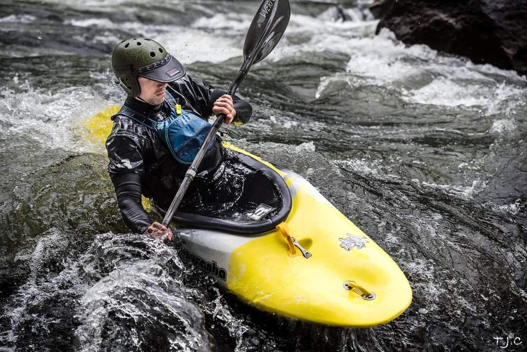
When I’m not working, you will likely find me disconnected in the great outdoors. I am having the most fun when I'm whitewater kayaking the Gauley River in West Virginia, gravel biking in the Appalachians, climbing the Lily Boulders near Obed, scuba diving the Racha Islands, or hiking around the Pacific Northwest. I live in Chattanooga, Tennessee (the *self proclaimed* geospatial capital of the world) with my wife, Jess, and our two dogs, Willow and Coconut.